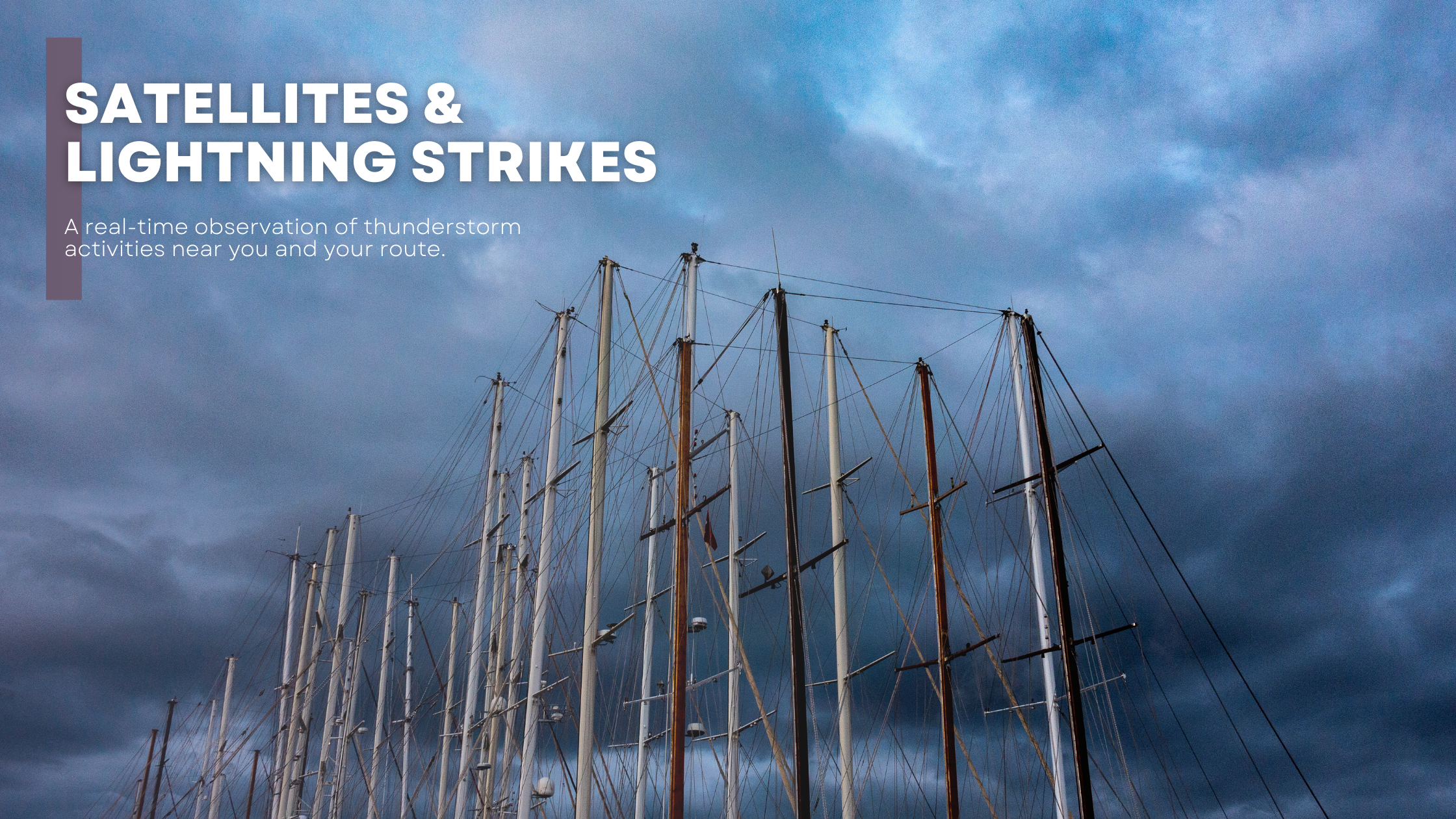
Meteomed is pleased to introduce its exclusive Satellite and Lightning service, integrated into our advanced cartographic platform. This tool is crucial for navigators who need to constantly compare weather forecasts based on mathematical models with the actual movement of air masses and disturbances.
The Satellite and Lightning service significantly increases the reliability of our weather forecasts and ensures safer maritime navigation. With this service, navigators can view the movement of major cloud systems in real time and identify lightning strikes, which indicate the presence and evolution of stormy phenomena. This allows for anticipating significant variations in weather conditions and preparing for potential scenarios of variability and instability.
It is essential to maintain constant control between data from weather models and satellite images. In case of complex weather situations, our navigators can rely on the expertise of our professional meteorologists. These specialists are able to further improve the accuracy of forecasts, thereby ensuring safety and comfort during navigation.
Another crucial aspect of our service involves the use of lightning data in our automatic alert systems. These systems are designed to notify navigators when a stormy phenomenon is developing near their location or in areas of interest. It is important to keep the list of preferred sectors and ports updated and activate the alert system to receive timely notifications not only for exceeding wind and wave thresholds but also for unexpected storms not predicted by mathematical models.
To access Meteomed's Satellite and Lightning service, follow these simple steps:
For more information or to receive technical support, do not hesitate to contact us. Our experts are available to assist you and enhance your navigation experience.
With Meteomed's Satellite and Lightning service, we offer you not only the ability to monitor weather conditions in real-time but also to receive personalized alerts that increase your safety at sea. Navigate with the assurance of always having the support of the best tools and professionals in the meteorological sector.
IT INCLUDES
IT INCLUDES
IT INCLUDES