Marine Current Monitoring

Introduction

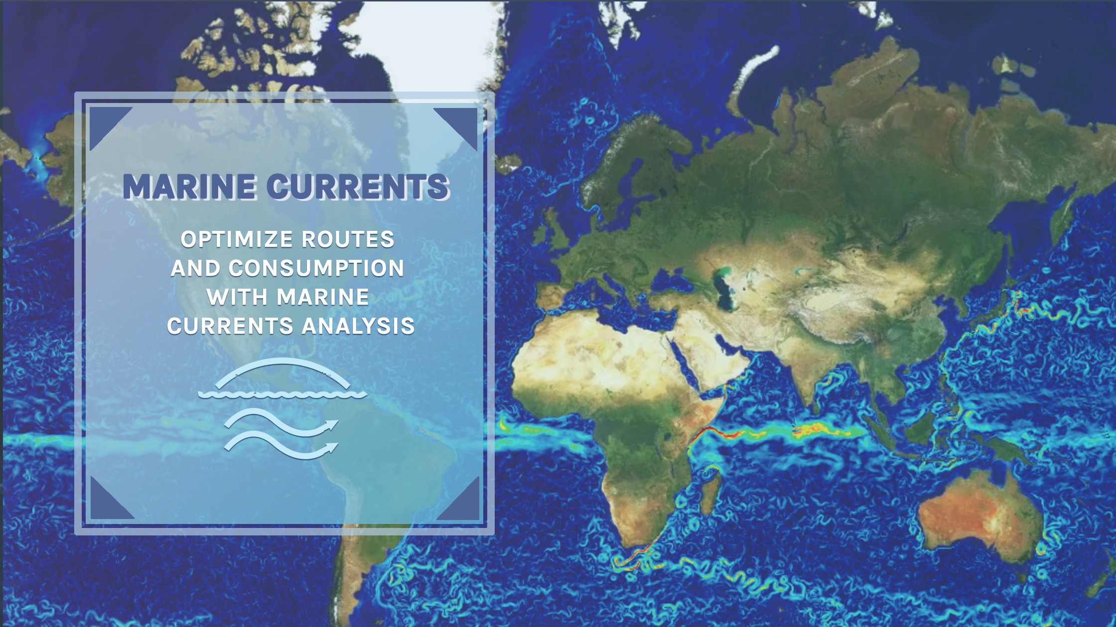
Welcome to our section dedicated to marine current monitoring. We use data from the most sophisticated systems of marine analysis and forecasting to ensure safe and informed navigation.

How It Works

Our data are derived from the "Mediterranean Sea Physics Analysis and Forecast," which utilizes the NEMO hydrodynamic model. This model simulates marine currents with a resolution of about 4 km, integrating satellite data and direct physical measurements for precise and reliable forecasting.

Navigation Benefits

We incorporate this information into our advanced cartography, offering users a detailed understanding of current and forecasted marine conditions. This allows for accurate route planning and effective management of marine operations.

Technology and Data

We use an interactive platform that allows viewing various meteorological parameters, such as temperature, wind, and wave heights, in addition to currents. Users can customize views to suit their specific needs. The opportunity to view satellites and lightning is also available.

Conclusion

Our commitment is to provide a superior quality service that enriches marine weather analysis, crucial for those navigating the Mediterranean waters.
To access real-time data, visit our platform.

Sources used:

Choose your subscription

PREMIUM
100€

IT INCLUDES

  • 100 Sms (bollettini e allerte)
  • Email (bollettini e allerte)
  • Automatic telephone weather report
  • Summary tables for ports and sectors
  • Cartography
  • Weather navigation route
  • Meteorologist at your disposal
  • World Services
  • Consultation with navigation expert
  • Weather rout chart (roadbook)
  • Download file GRIB
TOP
200€

IT INCLUDES

  • 100 Sms (bollettini e allerte)
  • Email (bollettini e allerte)
  • Automatic telephone weather report
  • Summary tables for ports and sectors
  • Cartography
  • Weather navigation route
  • Meteorologist at your disposal
  • World Services
  • Consultation with navigation expert
  • Weather rout chart (roadbook)
  • Download file GRIB
PLATINUM
400€

IT INCLUDES

  • 100 Sms (bollettini e allerte)
  • Email (bollettini e allerte)
  • Automatic telephone weather report
  • Summary tables for ports and sectors
  • Cartography
  • Weather navigation route
  • Meteorologist at your disposal
  • World Services
  • Consultation with navigation expert
  • Weather rout chart (roadbook)
  • Download file GRIB