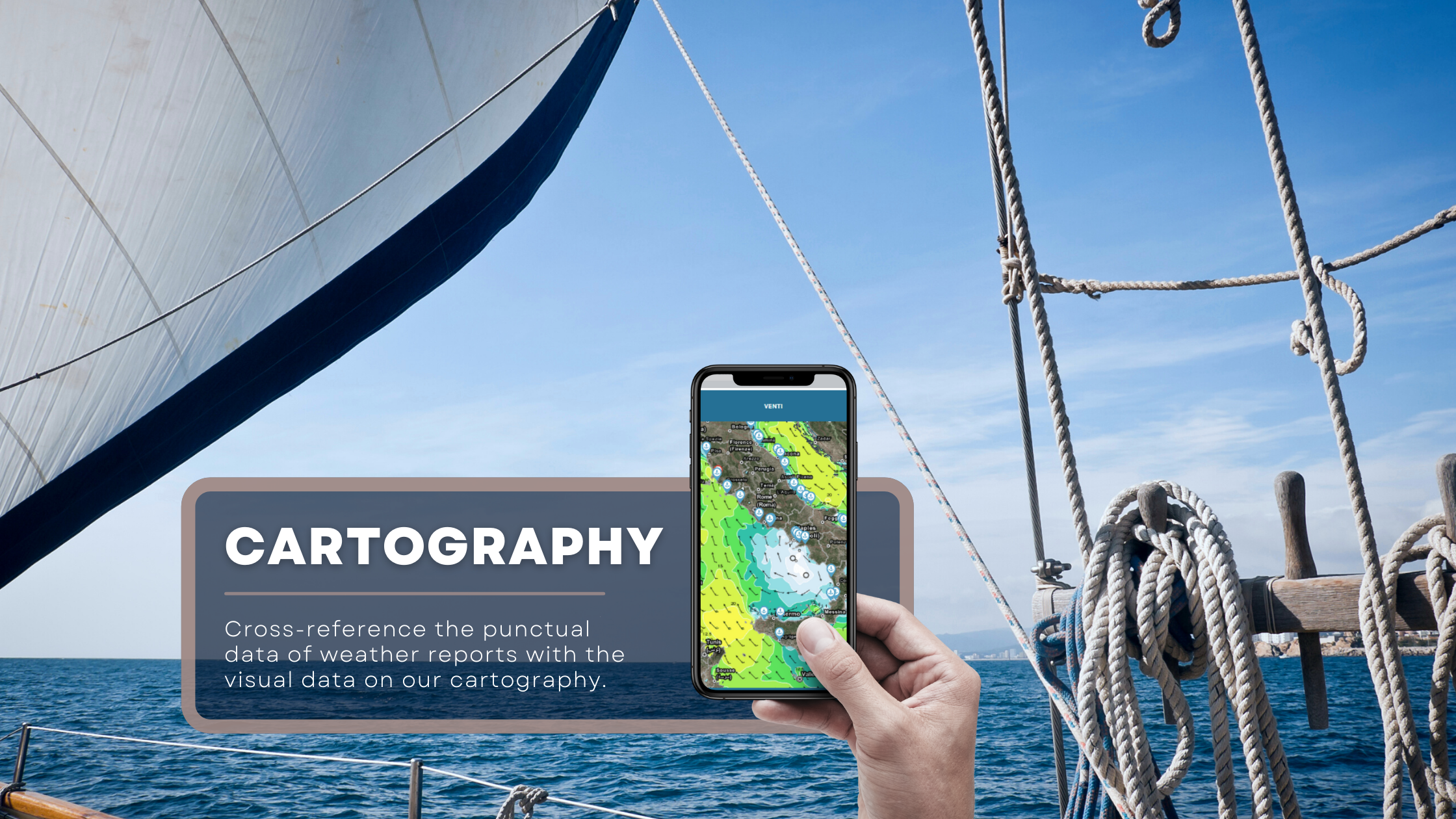
Our innovative cartographic system with several levels of zoom allows you to click on any point in the maritime area and obtain information on all the marine-weather variables useful to the optimization of your navigation. You will be able to see meteorological updates every hour for the first seven days of forecasting and every two hours up to the tenth day of forecasting.
Checking for forecasts on our map is extremely intuitive. It can offer you global overview of conditions on the whole Mediterrean sea or you can get a better insight into the weather conditions affecting single sea-sector and areas in front of ports. At your disposal the tabs on over 2000 ports on the Mediterranean Sea to obtain information on quay depth, headlights, contacts, number of berths, warnings, hardships and available services.
The Nowcast Service allows you to observe, in real time and directly on the map, the evolution and movement of weather fronts. As a matter of fact, for a realistic and complete forecast, especially in case of possible storms ahead, it is truly important to interpret the punctual data of weather reports in light of the visual data offered by real-time cartography.
On the highly responsive map users will also find the alerts identified by Meteomed on all micro sea sectors. By clicking on the alert icon users will have insight on its lever of risk and on the weather variable involved.
IT INCLUDES
IT INCLUDES
IT INCLUDES