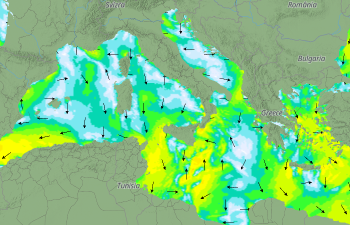
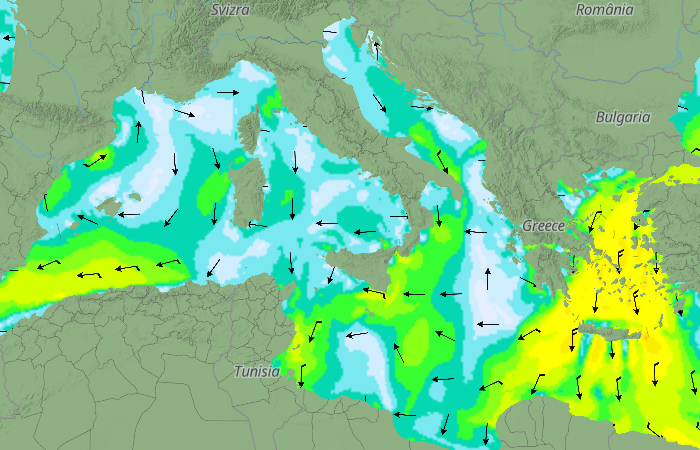
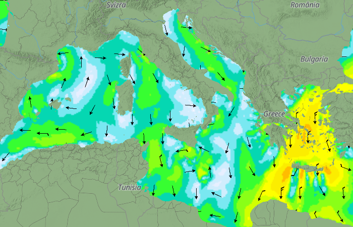
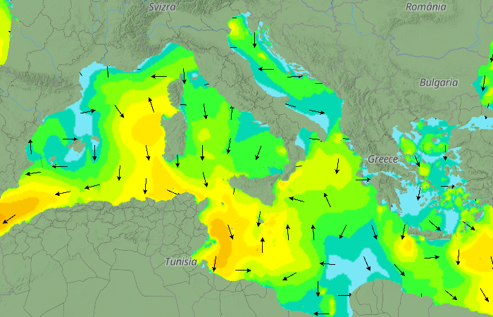
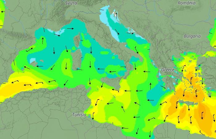
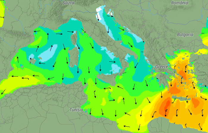
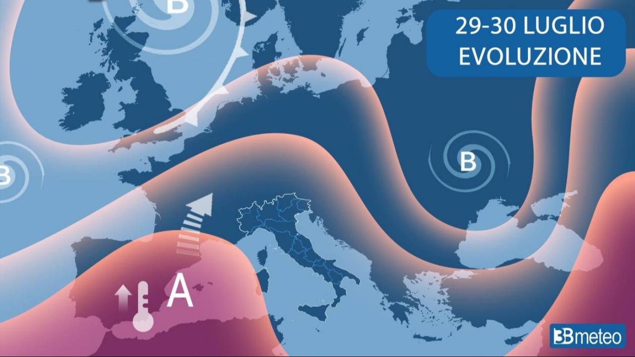
The subtropical anticyclone will return over the next few days to take hold of the central-western Mediterranean, expanding its protective wing towards the central-eastern area. Stability and good weather will dominate most of the Mediterranean, except for some local low clouds dissipating during the day and a few more clouds between the Sea of Sicily and the Libyan basin, but without significant phenomena. Heat will intensify, especially in the central-western sectors.
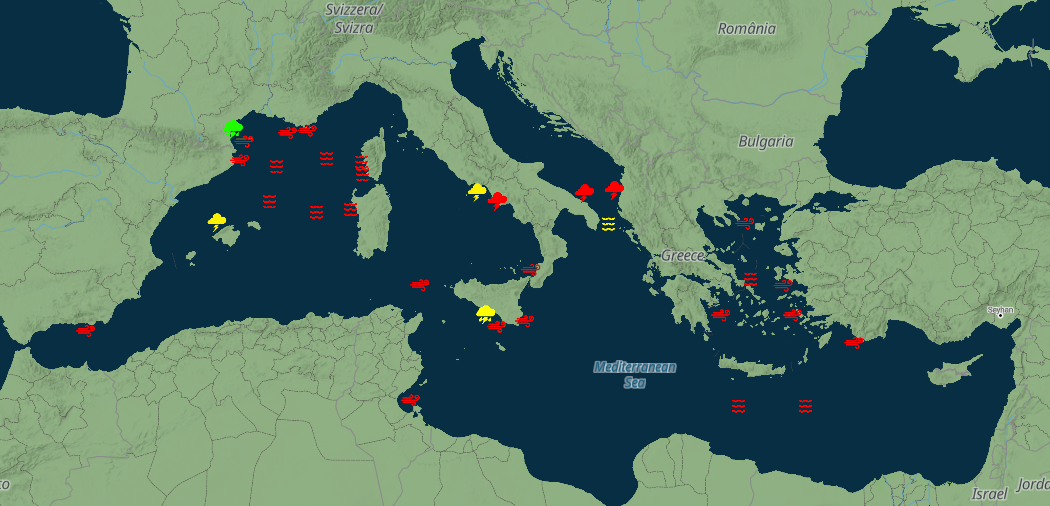
Alert map from 27 to 30 July
Alert table
If you are our customer, please consult the updated alerts here.
| DAY | ALERT | SECTOR | FORECAST |
|---|---|---|---|
| Monday 27 | |||
| Mon 27 | Onda | Rada d'alghero | 2.2 m |
| Mon 27 | Onda | Mar di corsica largo | 2.2 m |
| Mon 27 | Onda | Mar di sardegna settentrionale largo | 2.4 m |
| Mon 27 | Vento | Golfo di Gabes | 25.1 nodi/Kts |
| Tuesday 28 | |||
| Tue 28 | Vento | Golfo Fethiye - Golfo Finike | 30.7 nodi/Kts |
| Tue 28 | Vento | Costa del sol est | 25.1 nodi/Kts |
| Wednesday 29 | |||
| Wed 29 | Onda | Egeo centrale - Atene | 2.2 m |
| Wed 29 | Onda | Creta Sudest Largo | 2.1 m |
| Wed 29 | Onda | Creta Sudovest Largo | 2.2 m |
| Wed 29 | Vento | Egeo centrale est - Samo - Khios | 25.8 nodi/Kts |
| Wed 29 | Vento | Egeo meridionale est - Dodecaneso | 25.4 nodi/Kts |
| Thursday 30 | |||
| Thu 30 | Onda | Egeo centrale - Atene | 2.5 m |
| Thu 30 | Onda | Creta Sudovest Largo | 2.1 m |
| Thu 30 | Onda | Creta Sudest Largo | 2.1 m |
| Thu 30 | Vento | Egeo meridionale ovest - Cicladi | 25.6 nodi/Kts |